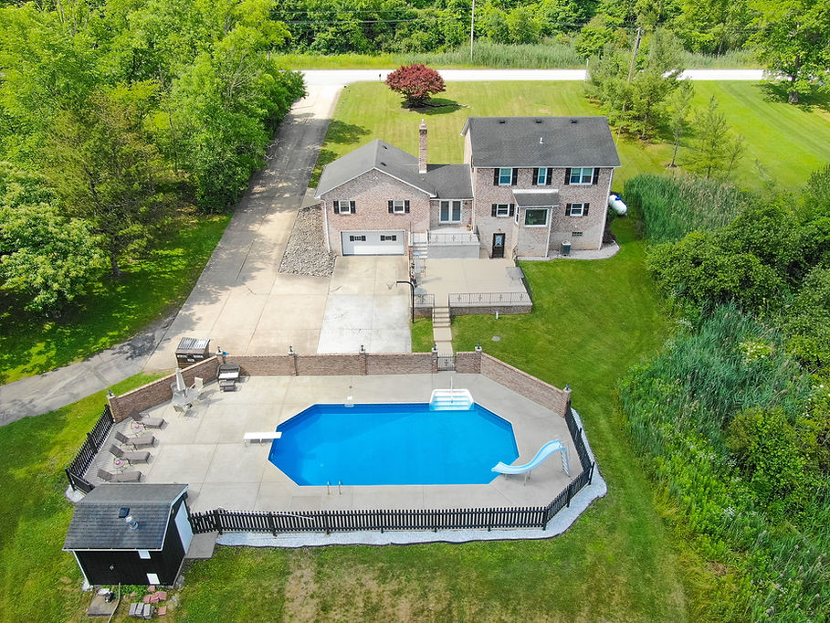
Real Estate/Drone Photography
-
(1) Photo of every room and profile of the property.
-
Exterior photos of the property as needed.
-
Add (2-4) Drone photos including front, back and/or overhead for 50.00 upcharge.
-
-
10-15 Aerial photos of your home or business.
-
Includes all cardinal angles of the property, the adjoining land, land footprint photos and nearby areas of interest.
See our pricing options below!

Prices as low as $75.00
Photography Cost Breakdown:
-
Typical Photographer Costs: (50.00 - 100.00) [1-2 hours]
-
Includes: travel time/gas, trained/certified pilot, camera equipment prep, FAA flight registration, flight route planning, preflight checks.
-
-
Typical Post Production/Service costs (25.00 - 50.00) [1-2 hours]
-
Includes: insurance, photo editing/selection, software licensing, product delivery/upload, thumbnail creation.
-
-
Potential Additional Costs
-
Additional time on site due to size of property or difficulty of shoot.
-
FAA waivers for flights over people/vehicles or within airspaces.
-
Travel costs for properties outside of Lawrence County.
-
(50.00) Upcharge to add Drone Photos to the Standard Photography Package.
-


